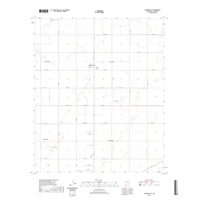
2020 Map of Hillburn City
USGS Topo · Published 2020About this map
Hillburn City serves as the central point of this Lea County landscape, illustrating a late-2010s pattern of high plains settlement organized by a rigid section-line road grid. The map reveals the quiet infrastructure of rural life, where long lanes like Willyard Ln and Mcwhorter Ln lead to isolated farmsteads and ranch properties. Genealogists will find particular value in the presence of the Old Plainview Cem and Cox Cem, which provide historical anchors for families in this corner of New Mexico. The terrain is marked by subtle depressions and ephemeral water features, crossed by an extensive network of county roads including Enterprise Rd and Dovey Rd. This layout reflects the enduring influence of the Public Land Survey System, with boundaries like t14s r36e defining the agricultural and ranching allotments of the region.
Find a feature on this map
40 named features on this map. Tap any name to fly to it.
Don’t see what you’re looking for? This feature index may not catch every label — zoom into the map to look around manually.
Map Details
Editions of this 2020 Hillburn City Map
This is the sole edition of this map. No revisions or reprints were ever made.
Other maps of this area

1954 · Hobbs
USGS Topo · 1:250,000

1954 · Brownfield
USGS Topo · 1:250,000

1958 · Brownfield
USGS Topo · 1:250,000

1958 · Hobbs
USGS Topo · 1:250,000

1962 · Brownfield
USGS Topo · 1:250,000

1962 · Lovington
USGS Topo · 1:24,000

1962 · Lovington
USGS Topo · 1:62,500

1970 · Prairieview
USGS Topo · 1:24,000

1970 · Prairieview NW
USGS Topo · 1:24,000

1970 · Hillburn City
USGS Topo · 1:24,000