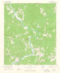
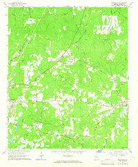
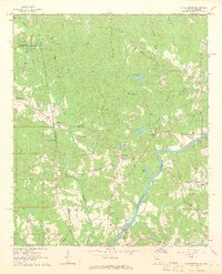
1964 Map of Hillcrest
USGS Topo · Published 1966About this map
The Chattahoochee River carves a deep winding path through the borderlands of Heard and Troup counties in the mid-1960s. This rural landscape is defined by its water crossings and small agricultural centers, notably at Hillcrest and Owensbyville. The presence of the Old Philpot Ferry and Moody Bridge underscores the importance of river transit in an era before modern highway expansion dominated the region.
Find a feature on this map
35 named features on this map. Tap any name to fly to it.
Don’t see what you’re looking for? This feature index may not catch every label — zoom into the map to look around manually.
Map Details
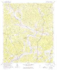
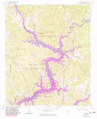
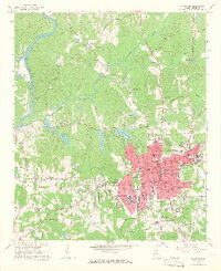
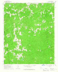
Editions of this 1964 Hillcrest Map
3 editions found
Other maps of this area

1899 · Wedowee
USGS Topo · 1:125,000

1902 · Wedowee
USGS Topo · 1:125,000

1953 · Atlanta
USGS Topo · 1:250,000

1957 · Atlanta
USGS Topo · 1:250,000

1958 · Atlanta
USGS Topo · 1:250,000
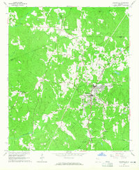
1964 · Hogansville
USGS Topo · 1:24,000
1964 · Mountville
USGS Topo · 1:24,000
1964 · Abbottsford
USGS Topo · 1:24,000
1964 · La Grange
USGS Topo · 1:24,000
1964 · Glenn
USGS Topo · 1:24,000