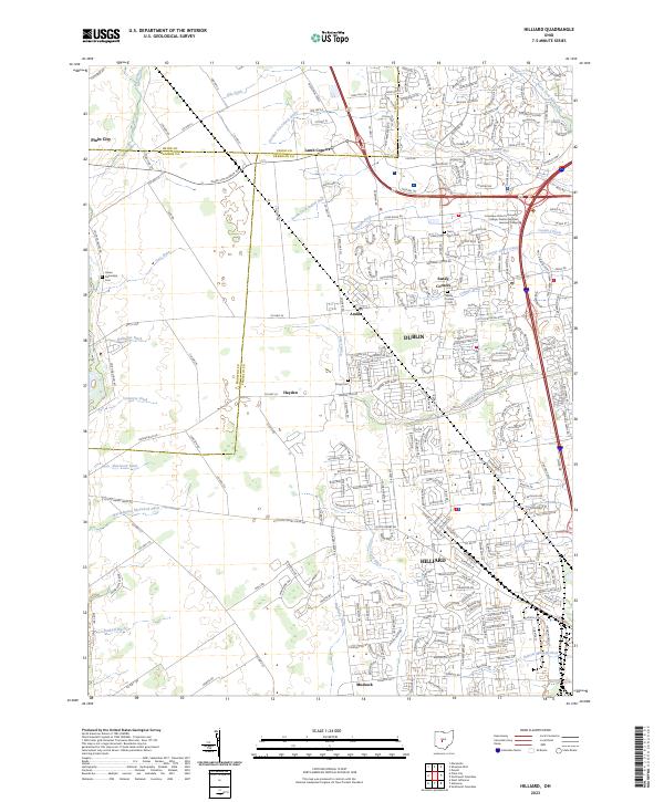
2023 Map of Hilliard
USGS Topo · Published 2023About this map
The convergence of Hilliard and Dublin at the Madison, Union, and Franklin county lines reveals a landscape defined by rapid suburban expansion over a historical agricultural grid. This modern survey illustrates how traditional rural crossroads like Lamb Corners, Sandy Corners, and Amlin have been absorbed into the modern streetscape of Central Ohio. While modern landmarks such as Columbus State Community College and the Dublin Regional Learning Center signify contemporary growth, the area's rural roots remain visible in the dense network of drainage canals, including Clover Groff Ditch, Cary Ditch, and Tuttle Ditch, which continue to manage the flat terrain. For genealogists and local historians, several burial grounds are preserved amidst the development, such as Saint John Cem and the Haven Fellowship Cem. The map provides a detailed view of the infrastructure supporting this transition, from the Industrial Pkwy to residential developments like Ballantrae Loop.
Find a feature on this map
251 named features on this map. Tap any name to fly to it.
Don’t see what you’re looking for? This feature index may not catch every label — zoom into the map to look around manually.
Map Details
Editions of this 2023 Hilliard Map
This is the sole edition of this map. No revisions or reprints were ever made.
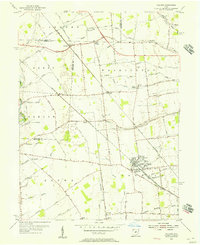
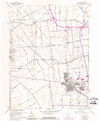
Historical Maps of Jerome Township Through Time
3 maps found