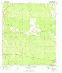
1970 Map of Hilliard SW
USGS Topo · Published 1973About this map
Crawford and Kent define the southern corridor of this Nassau County landscape during the early 1970s, where the intersection of the Southern and Seaboard Coast Line railroads dictated the local economy and movement. The terrain is characterized by a dense network of swampy lowlands and winding waterways, including the prominent Alligator Creek and Deep Creek.
Find a feature on this map
16 named features on this map. Tap any name to fly to it.
Don’t see what you’re looking for? This feature index may not catch every label — zoom into the map to look around manually.
Map Details
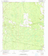
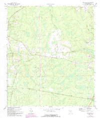
Editions of this 1970 Hilliard SW Map
3 editions found
Other maps of this area

1917 · Cambon
USGS Topo · 1:62,500

1917 · Macclenny
USGS Topo · 1:62,500

1917 · Hilliard
USGS Topo · 1:62,500

1918 · Moniac
USGS Topo · 1:62,500

1918 · Cambon
USGS Topo · 1:62,500

1918 · Macclenny
USGS Topo · 1:62,500

1919 · Hilliard
USGS Topo · 1:62,500

1942 · Moniac
USGS Topo · 1:62,500

1948 · Jacksonville
USGS Topo · 1:250,000

1954 · Valdosta
USGS Topo · 1:250,000