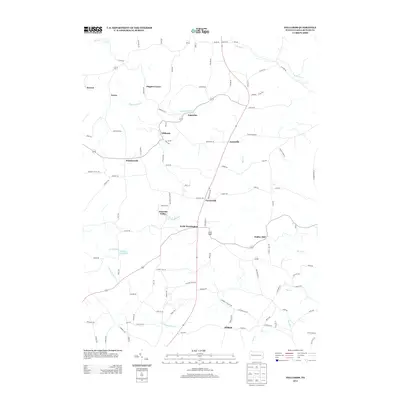
2013 Map of Hilliards
USGS Topo · Published 2013About this map
Hilliards and North Washington serve as the primary hubs in this section of northern Butler County, where the landscape is defined by the winding paths of Slippery Rock Cr and its southern branch. The map reveals a dense network of rural settlements, including Argentine, Whiskerville, and Annisville, many of which are connected by roads bearing the names of local families such as Higgins Rd and Blauser Rd.
Find a feature on this map
105 named features on this map. Tap any name to fly to it.
Don’t see what you’re looking for? This feature index may not catch every label — zoom into the map to look around manually.
Map Details
Editions of this 2013 Hilliards Map
This is the sole edition of this map. No revisions or reprints were ever made.
Other maps of this area

1900 · Kittanning
USGS Topo · 1:62,500

1902 · Kittanning
USGS Topo · 1:62,500

1907 · Foxburg
USGS Topo · 1:62,500

1908 · Foxburg
USGS Topo · 1:62,500

1909 · Butler
USGS Topo · 1:62,500

1910 · Hilliards
USGS Topo · 1:62,500

1911 · Butler
USGS Topo · 1:62,500

1912 · Hilliards
USGS Topo · 1:62,500

1944 · Hilliards
USGS Topo · 1:62,500

1953 · Pittsburgh
USGS Topo · 1:250,000