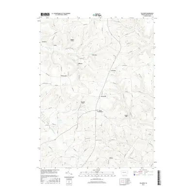
2016 Map of Hilliards
USGS Topo · Published 2016About this map
North Washington serves as a central hub for this portion of northern Butler County, where several key roads converge near Peaceful Valley. The landscape is defined by the winding paths of Slippery Rock Cr and its southern branch, alongside other waterways like Silver Cr and Bear Cr. This 2016 survey illustrates a patchwork of small, named communities such as Whiskerville, Annisville, and Parsonville that highlight the area's long-standing rural settlement patterns.
Find a feature on this map
59 named features on this map. Tap any name to fly to it.
Don’t see what you’re looking for? This feature index may not catch every label — zoom into the map to look around manually.
Map Details
Editions of this 2016 Hilliards Map
This is the sole edition of this map. No revisions or reprints were ever made.
Other maps of this area

1900 · Kittanning
USGS Topo · 1:62,500

1902 · Kittanning
USGS Topo · 1:62,500

1907 · Foxburg
USGS Topo · 1:62,500

1908 · Foxburg
USGS Topo · 1:62,500

1909 · Butler
USGS Topo · 1:62,500

1910 · Hilliards
USGS Topo · 1:62,500

1911 · Butler
USGS Topo · 1:62,500

1912 · Hilliards
USGS Topo · 1:62,500

1944 · Hilliards
USGS Topo · 1:62,500

1953 · Pittsburgh
USGS Topo · 1:250,000