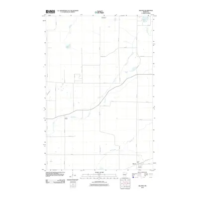
2010 Map of Hillman
USGS Topo · Published 2010About this map
Hillman serves as the primary settlement hub in this 2010 survey of eastern Morrison County, anchored by the Hillman Post Office and the Saint Rita Cemetery. The landscape is defined by the winding course of the Skunk River, which meanders across the central terrain, and Hillman Creek to the south. Historically significant infrastructure is evident in the Soo Line Trl, tracing the path of a former railroad corridor that once linked these rural communities to broader markets. High points and water bodies like the Sullivan Lake Lookout Tower, Peavy Lake, and Mud Lake punctuate the grid of county roads. Further north, the Pine Tree Cemetery provides another localized touchstone for genealogists and researchers tracking family landholdings in this part of Minnesota.
Find a feature on this map
34 named features on this map. Tap any name to fly to it.
Don’t see what you’re looking for? This feature index may not catch every label — zoom into the map to look around manually.
Map Details
Editions of this 2010 Hillman Map
This is the sole edition of this map. No revisions or reprints were ever made.
Other maps of this area

1948 · Pierz
USGS Topo · 1:62,500

1948 · Lastrup
USGS Topo · 1:62,500

1950 · Lastrup
USGS Topo · 1:62,500

1950 · Pierz
USGS Topo · 1:62,500

1953 · Duluth
USGS Topo · 1:250,000

1953 · Brainerd
USGS Topo · 1:250,000

1953 · Saint Cloud
USGS Topo · 1:250,000

1953 · Stillwater
USGS Topo · 1:250,000

1955 · Stillwater
USGS Topo · 1:250,000

1957 · Brainerd
USGS Topo · 1:250,000