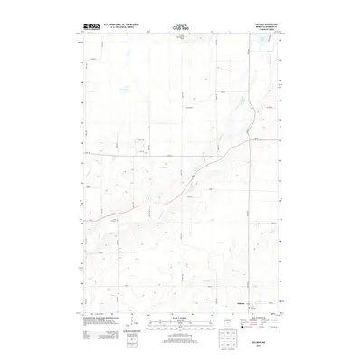
2013 Map of Hillman
USGS Topo · Published 2013About this map
The village of Hillman anchors this portion of Morrison County, where the local post office and Saint Rita Cem serve as focal points for the rural community. The landscape is defined by the winding course of the Skunk River, which bisects the quadrangle as it flows south toward several smaller tributaries including Hillman Cr and Little Mink Cr. To the north, the elevation rises toward the Sullivan Lake Lookout Tower, a significant regional landmark situated near Peavy Lake.
Find a feature on this map
37 named features on this map. Tap any name to fly to it.
Don’t see what you’re looking for? This feature index may not catch every label — zoom into the map to look around manually.
Map Details
Editions of this 2013 Hillman Map
This is the sole edition of this map. No revisions or reprints were ever made.
Other maps of this area

1948 · Pierz
USGS Topo · 1:62,500

1948 · Lastrup
USGS Topo · 1:62,500

1950 · Lastrup
USGS Topo · 1:62,500

1950 · Pierz
USGS Topo · 1:62,500

1953 · Duluth
USGS Topo · 1:250,000

1953 · Brainerd
USGS Topo · 1:250,000

1953 · Saint Cloud
USGS Topo · 1:250,000

1953 · Stillwater
USGS Topo · 1:250,000

1955 · Stillwater
USGS Topo · 1:250,000

1957 · Brainerd
USGS Topo · 1:250,000