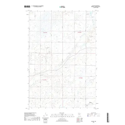
2019 Map of Hillman
USGS Topo · Published 2019About this map
The Hillman settlement occupies the southeast corner of this central Minnesota landscape, where the local road network follows the rigid section lines of the Public Land Survey System. The area is defined by the winding course of the Skunk River, which flows through a terrain dotted with numerous wetlands and small water bodies such as Mud Lake and Peavy Lake to the north. Local genealogy and history are anchored by two burial grounds: Pine Tree Cem near the center of the township and Saint Rita Cem located just south of the village center. A network of rural routes, including Co Rd 47 and Riverside Rd, connects scattered farmsteads across this agricultural and riverine environment. The presence of Hillman Cr and Little Mink Cr further emphasizes the intricate drainage patterns characteristic of Morrison County.
Find a feature on this map
29 named features on this map. Tap any name to fly to it.
Don’t see what you’re looking for? This feature index may not catch every label — zoom into the map to look around manually.
Map Details
Editions of this 2019 Hillman Map
This is the sole edition of this map. No revisions or reprints were ever made.
Other maps of this area

1948 · Pierz
USGS Topo · 1:62,500

1948 · Lastrup
USGS Topo · 1:62,500

1950 · Lastrup
USGS Topo · 1:62,500

1950 · Pierz
USGS Topo · 1:62,500

1953 · Duluth
USGS Topo · 1:250,000

1953 · Brainerd
USGS Topo · 1:250,000

1953 · Saint Cloud
USGS Topo · 1:250,000

1953 · Stillwater
USGS Topo · 1:250,000

1955 · Stillwater
USGS Topo · 1:250,000

1957 · Brainerd
USGS Topo · 1:250,000