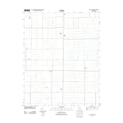
2012 Map of Hills Store
USGS Topo · Published 2012About this map
The agricultural landscape of Stoddard County is defined by a grid of rural roads and scattered small communities like Hills Store and Maulsby. This 2012 survey reveals a region deeply tied to its land, where drainage features such as Bess Slough and the Upper Castor River segment the vast farm plots. The map is a vital resource for genealogists, as it meticulously identifies long-standing community centers and resting places, including the Vinson School and several burial grounds like Cravins Cemetery and Barker Cemetery. Along the eastern edge, the hamlet of LaValle sits near the river, while the central corridor is punctuated by the Radcliffe Landing Strip, reflecting the intersection of traditional agriculture and modern utility. The presence of Stones Chapel Cemetery and Ivester Cemetery further emphasizes the deep-rooted family histories embedded in this Missouri Bootheel terrain.
Find a feature on this map
30 named features on this map. Tap any name to fly to it.
Don’t see what you’re looking for? This feature index may not catch every label — zoom into the map to look around manually.
Map Details
Editions of this 2012 Hills Store Map
This is the sole edition of this map. No revisions or reprints were ever made.
Other maps of this area

1931 · Sikeston
USGS Topo · 1:62,500

1934 · Bloomfield
USGS Topo · 1:62,500

1934 · Sikeston
USGS Topo · 1:62,500

1939 · Bloomfield
USGS Topo · 1:62,500

1939 · Sikeston
USGS Topo · 1:62,500

1939 · New Madrid
USGS Topo · 1:62,500

1940 · Malden
USGS Topo · 1:62,500

1949 · Bloomfield
USGS Topo · 1:62,500

1954 · New Madrid
USGS Topo · 1:62,500

1956 · Malden
USGS Topo · 1:62,500