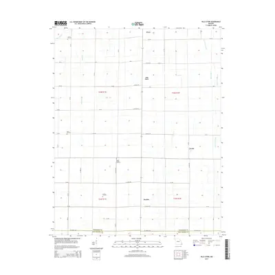
2015 Map of Hills Store
USGS Topo · Published 2015About this map
Hills Store and the surrounding agricultural lowlands of the Missouri Bootheel are defined by a complex network of drainage infrastructure. This landscape, situated at the boundary of Stoddard Co and New Madrid Co, demonstrates the intensive water management required for farming in the region. Engineering features such as Main Ditch and Ditch Number 41 run alongside natural waterways like Bess Slough and the Upper Castor River, showing how the land has been modified over decades. For genealogists, the map is particularly useful for locating small, family-linked burial sites distributed across the townships, including Cravins Cemetery, Barker Cemetery, and Ivester Cemetery. Small rural hubs like Maulsby and LaValle are positioned along the grid of county roads, serving as anchors for the local farming community.
Find a feature on this map
50 named features on this map. Tap any name to fly to it.
Don’t see what you’re looking for? This feature index may not catch every label — zoom into the map to look around manually.
Map Details
Editions of this 2015 Hills Store Map
This is the sole edition of this map. No revisions or reprints were ever made.
Other maps of this area

1931 · Sikeston
USGS Topo · 1:62,500

1934 · Bloomfield
USGS Topo · 1:62,500

1934 · Sikeston
USGS Topo · 1:62,500

1939 · Bloomfield
USGS Topo · 1:62,500

1939 · Sikeston
USGS Topo · 1:62,500

1939 · New Madrid
USGS Topo · 1:62,500

1940 · Malden
USGS Topo · 1:62,500

1949 · Bloomfield
USGS Topo · 1:62,500

1954 · New Madrid
USGS Topo · 1:62,500

1956 · Malden
USGS Topo · 1:62,500