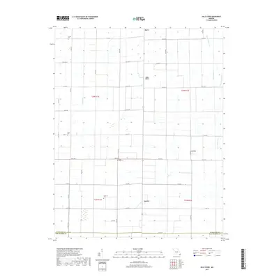
2017 Map of Hills Store
USGS Topo · Published 2017About this map
Hills Store and the surrounding agricultural landscape of Stoddard County are defined by a sophisticated network of drainage and water management, visible in the straight-channeled paths of Main Ditch and Ditch Number 41. These artificial waterways support the fertile Bootheel region, where small settlements like Marco, Maulsby, and LaValle act as anchors for the local farming community. The topography is largely level, though the meandering course of Coney Cr and the Upper Castor River provide natural contrast to the grid-like road system of county and state routes.
Find a feature on this map
42 named features on this map. Tap any name to fly to it.
Don’t see what you’re looking for? This feature index may not catch every label — zoom into the map to look around manually.
Map Details
Editions of this 2017 Hills Store Map
This is the sole edition of this map. No revisions or reprints were ever made.
Other maps of this area

1931 · Sikeston
USGS Topo · 1:62,500

1934 · Bloomfield
USGS Topo · 1:62,500

1934 · Sikeston
USGS Topo · 1:62,500

1939 · Bloomfield
USGS Topo · 1:62,500

1939 · Sikeston
USGS Topo · 1:62,500

1939 · New Madrid
USGS Topo · 1:62,500

1940 · Malden
USGS Topo · 1:62,500

1949 · Bloomfield
USGS Topo · 1:62,500

1954 · New Madrid
USGS Topo · 1:62,500

1956 · Malden
USGS Topo · 1:62,500