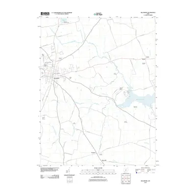
2010 Map of Hillsboro
USGS Topo · Published 2010About this map
Hillsboro serves as the focal point of this Highland County landscape, where the town grid meets a radiating network of rural roads. To the east, the waters of Rocky Fork Lake and the Rocky Fork Golf Course indicate the area's development for recreation, while the Hillsboro Reservoir and Hillsboro Reservoir Dam sit to the north. The map is particularly rich in genealogical data, preserving the locations of numerous burial grounds including Saint Marys Cemetery, Pleasant Hill Cemetery, and the New Light Cemetery near Boston. Smaller settlements like Prospect and Berrysville anchor the southern reaches, connected by routes such as Bennington Rd and E Berrysville Rd. This survey documents the transition from the denser town center to the surrounding agricultural fields and woodlands drained by Clear Creek and Wolf Creek.
Find a feature on this map
64 named features on this map. Tap any name to fly to it.
Don’t see what you’re looking for? This feature index may not catch every label — zoom into the map to look around manually.
Map Details
Editions of this 2010 Hillsboro Map
This is the sole edition of this map. No revisions or reprints were ever made.
Other maps of this area

1915 · Bainbridge
USGS Topo · 1:48,000

1917 · Bainbridge
USGS Topo · 1:62,500

1917 · Greenfield
USGS Topo · 1:62,500

1917 · Hillsboro
USGS Topo · 1:62,500

1917 · Sabina
USGS Topo · 1:62,500

1943 · Sabina
USGS Topo · 1:62,500

1944 · Hillsboro
USGS Topo · 1:62,500

1944 · Greenfield
USGS Topo · 1:62,500

1947 · Columbus
USGS Topo · 1:250,000

1960 · Greenfield
USGS Topo · 1:24,000