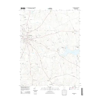
2013 Map of Hillsboro
USGS Topo · Published 2013About this map
Hillsboro serves as the focal point of this Highland County landscape, where the convergence of Us-62, Us-50, and several state routes underscores its role as a regional crossroads. The town's grid extends toward Lilley Hill and Pea Ridge, while the outlying areas are defined by a collection of family farms and agrarian markers, such as Coyote Creek Farm and Fettro Farms. To the east, the waters of Rocky Fork Lake and its dramatic Rocky Fork Point dominate the terrain, creating a distinct boundary between the managed fields and the recreational geography of the reservoir.
Find a feature on this map
106 named features on this map. Tap any name to fly to it.
Don’t see what you’re looking for? This feature index may not catch every label — zoom into the map to look around manually.
Map Details
Editions of this 2013 Hillsboro Map
This is the sole edition of this map. No revisions or reprints were ever made.
Other maps of this area

1915 · Bainbridge
USGS Topo · 1:48,000

1917 · Bainbridge
USGS Topo · 1:62,500

1917 · Greenfield
USGS Topo · 1:62,500

1917 · Hillsboro
USGS Topo · 1:62,500

1917 · Sabina
USGS Topo · 1:62,500

1943 · Sabina
USGS Topo · 1:62,500

1944 · Hillsboro
USGS Topo · 1:62,500

1944 · Greenfield
USGS Topo · 1:62,500

1947 · Columbus
USGS Topo · 1:250,000

1960 · Greenfield
USGS Topo · 1:24,000