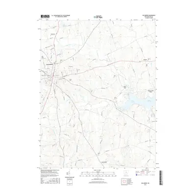
2016 Map of Hillsboro
USGS Topo · Published 2016About this map
Hillsboro serves as the focal point of this Highland County landscape, where the urban grid transitions into the drainage basins of Rocky Fork and Clear Creek. The town is characterized by institutional landmarks including the Southern State Community College and several historic burial grounds such as Hillsboro Cem and Saint Marys Cem. Moving eastward, the terrain is defined by the significant recreational and hydrological footprint of Rocky Fork Lake, bordered by Rocky Fork Point.
Find a feature on this map
98 named features on this map. Tap any name to fly to it.
Don’t see what you’re looking for? This feature index may not catch every label — zoom into the map to look around manually.
Map Details
Editions of this 2016 Hillsboro Map
This is the sole edition of this map. No revisions or reprints were ever made.
Other maps of this area

1915 · Bainbridge
USGS Topo · 1:48,000

1917 · Bainbridge
USGS Topo · 1:62,500

1917 · Greenfield
USGS Topo · 1:62,500

1917 · Hillsboro
USGS Topo · 1:62,500

1917 · Sabina
USGS Topo · 1:62,500

1943 · Sabina
USGS Topo · 1:62,500

1944 · Hillsboro
USGS Topo · 1:62,500

1944 · Greenfield
USGS Topo · 1:62,500

1947 · Columbus
USGS Topo · 1:250,000

1960 · Greenfield
USGS Topo · 1:24,000