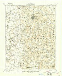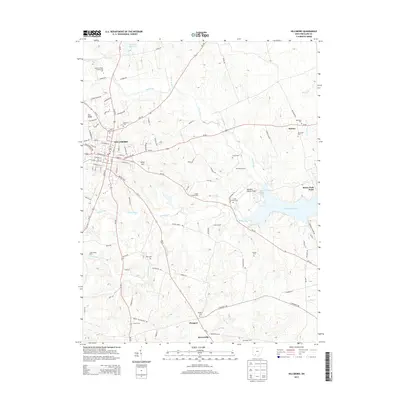
1961 Map of Hillsboro
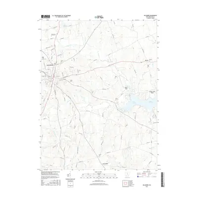
USGS Topo · Published 1976About this map
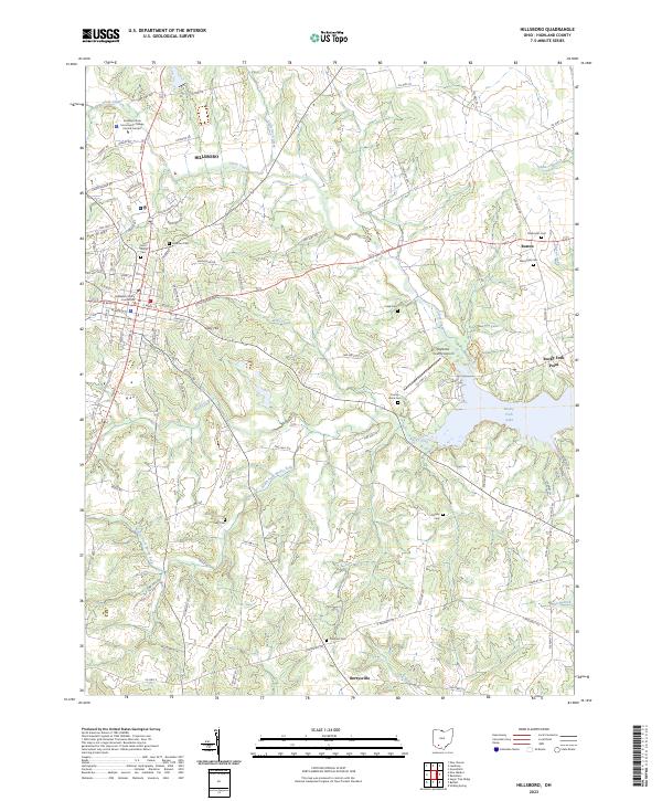
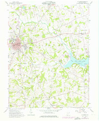
Hillsboro serves as the focal point of this Highland County landscape, showing the town's mid-century expansion through revised street networks and residential pockets like Lilley Hill. The map documents a balanced mix of civic infrastructure and rural tradition, with the Highland Hospital, Armory, and Courthouse anchoring the town center while outlying areas remain defined by small settlements like Boston and Berrysville. To the southeast, the emergence of Rocky Fork Lake and the surrounding Rocky Fork State Park indicates the region's mid-century shift toward water-based recreation and conservation.
Find a feature on this map
42 named features on this map. Tap any name to fly to it.
Don’t see what you’re looking for? This feature index may not catch every label — zoom into the map to look around manually.
Map Details
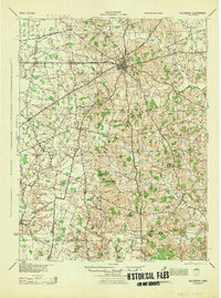
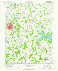
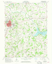
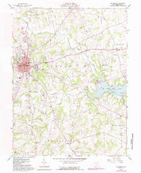
Editions of this 1961 Hillsboro Map
4 editions found
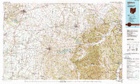
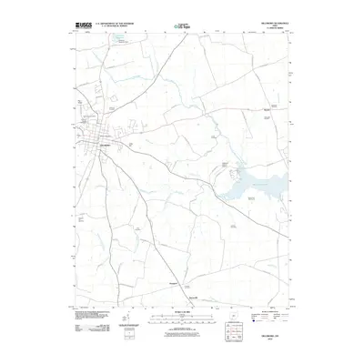
Historical Maps of Hillsboro Through Time
9 maps found