Loading...
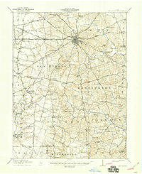
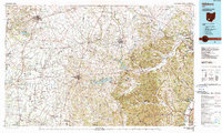
Loading map...1917 Map of Hillsboro
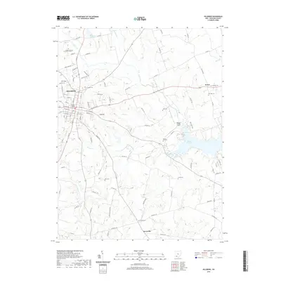
USGS Topo · Published 1941About this map
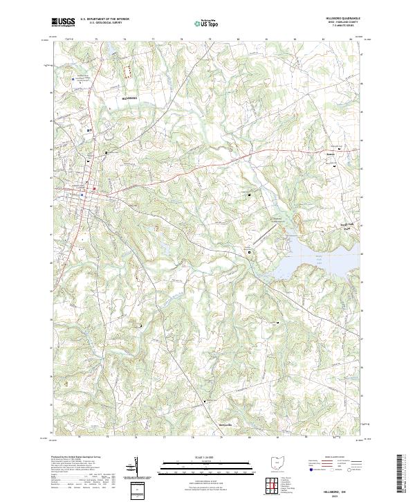
The county seat of Hillsboro serves as the hub for a dense network of early 20th-century roads and railways, including the Baltimore and Ohio Southwestern R R and the Norfolk and Western R R. This 1914–1915 survey reveals a landscape defined by an incredibly high concentration of rural schoolhouses, such as Persimmon Ridge School, Brier College School, and Kansas College School, suggesting a highly organized township system of education before the era of school consolidation.
Find a feature on this map
95 named features on this map. Tap any name to fly to it.
Don’t see what you’re looking for? This feature index may not catch every label — zoom into the map to look around manually.
Map Details
Date Portrayed1917
Date Published1941
PublisherU.S. Geological Survey
Map TypeTopographic
Scale1:62,500
Physical Dimensions17 x 20.9 inches
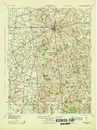
Editions of this 1917 Hillsboro Map
2 editions found
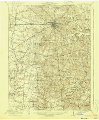
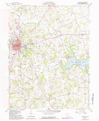
Historical Maps of Hillsboro Through Time
9 maps found
Featured Locations
Source Details
SourceU.S. Geological Survey
CopyrightPublic Domain