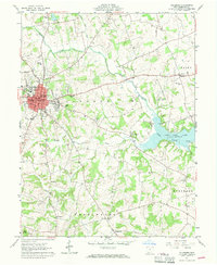
1961 Map of Hillsboro
USGS Topo · Published 1970About this map
The Hillsboro street grid, centered on the Courthouse and the intersection of Main St and High St, serves as the primary hub of Highland County in the early 1960s. The town's civic life is well-documented, showing the Armory, High School, and Washington School, alongside various religious and medical institutions like St Marys Cemetery and Highland Hospital. Much of this area lies within the Virginia Military District, a legacy reflected in the irregular land divisions that contrast with the more rigid township boundaries of Liberty and Marshall.
Find a feature on this map
44 named features on this map. Tap any name to fly to it.
Don’t see what you’re looking for? This feature index may not catch every label — zoom into the map to look around manually.
Map Details
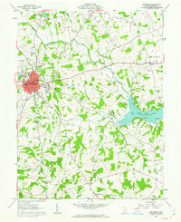
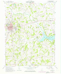
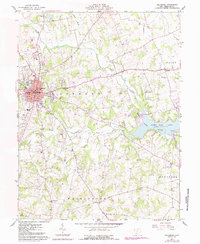
Editions of this 1961 Hillsboro Map
4 editions found
Other maps of this area

1915 · Bainbridge
USGS Topo · 1:48,000

1917 · Bainbridge
USGS Topo · 1:62,500

1917 · Greenfield
USGS Topo · 1:62,500

1917 · Hillsboro
USGS Topo · 1:62,500

1917 · Sabina
USGS Topo · 1:62,500

1943 · Sabina
USGS Topo · 1:62,500

1944 · Hillsboro
USGS Topo · 1:62,500

1944 · Greenfield
USGS Topo · 1:62,500

1947 · Columbus
USGS Topo · 1:250,000

1960 · Greenfield
USGS Topo · 1:24,000