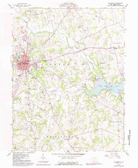
1961 Map of Hillsboro
USGS Topo · Published 1987About this map
Hillsboro serves as the focal point of this Highland County landscape, shown here as it transitioned through the mid-20th century. The town's civic core is clearly defined by the Courthouse, Armory, and High Sch, while the outlying areas of Liberty, Washington, and Marshall townships maintain their rural character. The topography is shaped by the drainage systems of Clear Creek and Little Rock Creek, which feed into the significant waters of Rocky Fork Lake and Paint State Park to the east.
Find a feature on this map
35 named features on this map. Tap any name to fly to it.
Don’t see what you’re looking for? This feature index may not catch every label — zoom into the map to look around manually.
Map Details
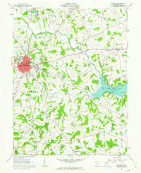
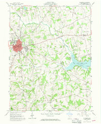
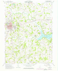
Editions of this 1961 Hillsboro Map
4 editions found
Other maps of this area

1915 · Bainbridge
USGS Topo · 1:48,000

1917 · Bainbridge
USGS Topo · 1:62,500

1917 · Greenfield
USGS Topo · 1:62,500

1917 · Hillsboro
USGS Topo · 1:62,500

1917 · Sabina
USGS Topo · 1:62,500

1943 · Sabina
USGS Topo · 1:62,500

1944 · Hillsboro
USGS Topo · 1:62,500

1944 · Greenfield
USGS Topo · 1:62,500

1947 · Columbus
USGS Topo · 1:250,000

1960 · Greenfield
USGS Topo · 1:24,000