
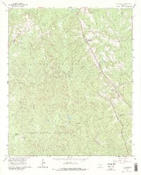
1964 Map of Hillsboro
USGS Topo · Published 1965About this map
The Central of Georgia railroad line serves as a central artery through this corner of Jasper County, connecting the small communities of Adgateville and Hillsboro amidst a landscape heavily defined by conservation and resource extraction. Significant portions of the territory are occupied by the Oconee National Forest and the Piedmont National Wildlife Refuge, where the terrain is dissected by numerous waterways such as Stalking Head Creek and Gladesville Creek.
Find a feature on this map
21 named features on this map. Tap any name to fly to it.
Don’t see what you’re looking for? This feature index may not catch every label — zoom into the map to look around manually.
Map Details
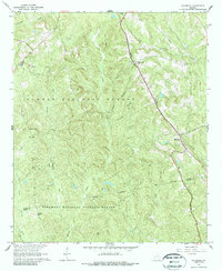
Editions of this 1964 Hillsboro Map
3 editions found
Other maps of this area

1951 · Forsyth
USGS Topo · 1:62,500

1953 · Athens
USGS Topo · 1:250,000

1958 · Athens
USGS Topo · 1:250,000

1959 · Athens
USGS Topo · 1:250,000

1963 · Athens
USGS Topo · 1:250,000

1964 · Lloyd Shoals Dam
USGS Topo · 1:24,000

1964 · Gray
USGS Topo · 1:24,000
1964 · Dames Ferry
USGS Topo · 1:24,000

1964 · Stanfordville
USGS Topo · 1:24,000

1972 · Monticello
USGS Topo · 1:24,000