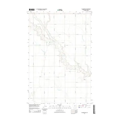
2014 Map of Hillsboro NW
USGS Topo · Published 2014About this map
The Goose River meanders through this agricultural section of Traill County, showing a highly managed water system dominated by drainage networks. The northern portion of the map is defined by the junction of the N Br Goose River with the main branch, while the southern reaches are drained by the N Br Elm River. This landscape reflects a sophisticated 21st-century irrigation and flood control layout, characterized by a dense grid of range roads like 155th Ave NE and Center St and numerous named conduits such as Norway Drain Number 38 and Hanson Drain. For those researching local family history, the map identifies small burial sites including Arnegard Cem in the southeast and Carlson Cem along the northern border near ND-200, which provide vital touchstones for the rural community.
Find a feature on this map
26 named features on this map. Tap any name to fly to it.
Don’t see what you’re looking for? This feature index may not catch every label — zoom into the map to look around manually.
Map Details
Editions of this 2014 Hillsboro NW Map
This is the sole edition of this map. No revisions or reprints were ever made.
Other maps of this area

1918 · Kelso
USGS Topo · 1:62,500

1943 · Kelso
USGS Topo · 1:62,500

1952 · Grand Forks
USGS Topo · 1:250,000

1956 · Grand Forks
USGS Topo · 1:250,000

1963 · Hillsboro
USGS Topo · 1:24,000

1963 · Kelso
USGS Topo · 1:24,000

1966 · Grand Forks
USGS Topo · 1:250,000

1967 · Mayville South
USGS Topo · 1:24,000

1967 · Blanchard
USGS Topo · 1:24,000
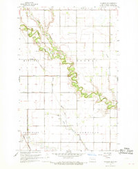
1967 · Hillsboro NW
USGS Topo · 1:24,000