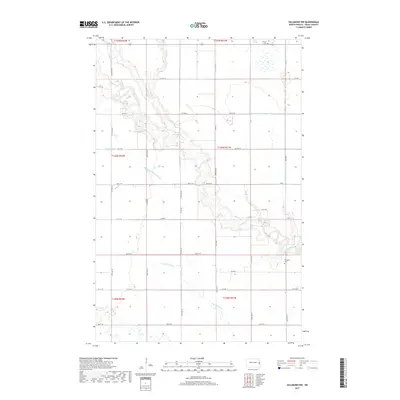
2017 Map of Hillsboro NW
USGS Topo · Published 2017About this map
Goose River meanders sharply across this Traill County landscape, creating a complex series of oxbows and bends that define the local geography. This 2017 survey reflects the persistent agricultural character of the Red River Valley, where the land is meticulously partitioned by a grid of rural roads like 157th Ave NE and Co Hwy 13. Water management is central to the area's history, evidenced by engineered waterways such as Norway Drain Number 38 and Hanson Drain, which supplement the natural flow of the N Br Goose River. Genealogy researchers will find the Carlson Cem in the northern reaches near Wold Slough, while the southern portion of the map is marked by the Arnegard settlement and the winding path of the N Br Elm River.
Find a feature on this map
32 named features on this map. Tap any name to fly to it.
Don’t see what you’re looking for? This feature index may not catch every label — zoom into the map to look around manually.
Map Details
Editions of this 2017 Hillsboro NW Map
This is the sole edition of this map. No revisions or reprints were ever made.
Other maps of this area

1918 · Kelso
USGS Topo · 1:62,500

1943 · Kelso
USGS Topo · 1:62,500

1952 · Grand Forks
USGS Topo · 1:250,000

1956 · Grand Forks
USGS Topo · 1:250,000

1963 · Hillsboro
USGS Topo · 1:24,000

1963 · Kelso
USGS Topo · 1:24,000

1966 · Grand Forks
USGS Topo · 1:250,000

1967 · Mayville South
USGS Topo · 1:24,000

1967 · Blanchard
USGS Topo · 1:24,000
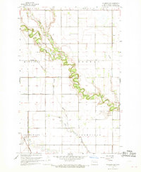
1967 · Hillsboro NW
USGS Topo · 1:24,000