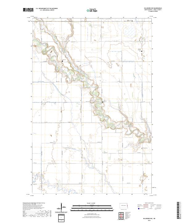
2024 Map of Hillsboro NW
USGS Topo · Published 2024About this map
The Goose River meanders sharply across this portion of Traill County, North Dakota, defining the landscape alongside its major tributaries. The river's complex oxbows and the North Branch Goose River are surrounded by a rectilinear grid of section lines and township boundaries, such as t146n r51w, reflecting the systematic agricultural development of the Red River Valley. This area is noted for its collection of rural burial grounds that speak to the heritage of early settlers, including the Norway Lutheran Cem, Aal Lutheran Cem, and Arnegard Cem. This land-management pattern is further emphasized by the extensive network of drainage projects like Hanson Drain and Norway Drain Number 38, which were critical for converting this prairie into productive North Dakota farmland. Small local thoroughfares like Co HWY 13 and Co RD 10 provide the primary connections between these dispersed rural sites.
Find a feature on this map
39 named features on this map. Tap any name to fly to it.
Don’t see what you’re looking for? This feature index may not catch every label — zoom into the map to look around manually.
Map Details
Editions of this 2024 Hillsboro NW Map
This is the sole edition of this map. No revisions or reprints were ever made.
Other maps of this area

1918 · Kelso
USGS Topo · 1:62,500

1943 · Kelso
USGS Topo · 1:62,500

1952 · Grand Forks
USGS Topo · 1:250,000

1956 · Grand Forks
USGS Topo · 1:250,000

1963 · Hillsboro
USGS Topo · 1:24,000

1963 · Kelso
USGS Topo · 1:24,000

1966 · Grand Forks
USGS Topo · 1:250,000

1967 · Mayville South
USGS Topo · 1:24,000

1967 · Blanchard
USGS Topo · 1:24,000
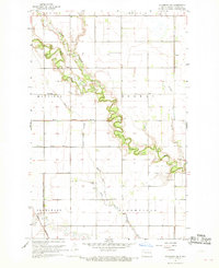
1967 · Hillsboro NW
USGS Topo · 1:24,000