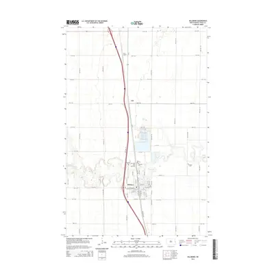
2014 Map of Hillsboro
USGS Topo · Published 2014About this map
The Goose River meanders sharply across this eastern North Dakota landscape, creating a serpentine corridor that defines the geography of Hillsboro. This Red River Valley community is shown at a point of modern infrastructure, where major transportation routes bisect the fertile plains. North of the city center, the small settlement of Taft and the Deck Airport sit along the primary north-south corridor. A notable cluster of local history is found just north of the river, where several burial grounds including Saint Rose Cem, Elmwood Cem, Lynn Elton Cem, and Riverside Cem are situated in close proximity, offering a concentrated area for genealogical research. The street grid of Hillsboro is well-defined, showing the layout from Caledonia Ave W to the southern reaches of Highway 81 SE.
Find a feature on this map
30 named features on this map. Tap any name to fly to it.
Don’t see what you’re looking for? This feature index may not catch every label — zoom into the map to look around manually.
Map Details
Editions of this 2014 Hillsboro Map
This is the sole edition of this map. No revisions or reprints were ever made.
Other maps of this area

1918 · Kelso
USGS Topo · 1:62,500

1918 · Hendrum
USGS Topo · 1:62,500

1919 · Eldred
USGS Topo · 1:62,500

1943 · Kelso
USGS Topo · 1:62,500

1952 · Grand Forks
USGS Topo · 1:250,000

1956 · Grand Forks
USGS Topo · 1:250,000

1963 · Hillsboro
USGS Topo · 1:24,000

1963 · Kelso
USGS Topo · 1:24,000

1963 · Halstad SW
USGS Topo · 1:24,000

1964 · Climax SW
USGS Topo · 1:24,000