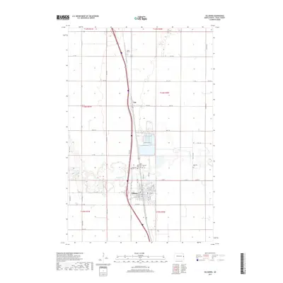
2017 Map of Hillsboro
USGS Topo · Published 2017About this map
The Goose River meanders in tight oxbows through this landscape, defining the character of the Red River Valley in Traill County. The settlement of Hillsboro serves as the focal point, situated where the river loops south of the town center. Local history and genealogy are well-represented here by a significant cluster of cemeteries north of the city, including Riverside Cem, Saint Lynn Elton Cem, Saint Rose Cem, and Elmwood Cem.
Find a feature on this map
36 named features on this map. Tap any name to fly to it.
Don’t see what you’re looking for? This feature index may not catch every label — zoom into the map to look around manually.
Map Details
Editions of this 2017 Hillsboro Map
This is the sole edition of this map. No revisions or reprints were ever made.
Other maps of this area

1918 · Kelso
USGS Topo · 1:62,500

1918 · Hendrum
USGS Topo · 1:62,500

1919 · Eldred
USGS Topo · 1:62,500

1943 · Kelso
USGS Topo · 1:62,500

1952 · Grand Forks
USGS Topo · 1:250,000

1956 · Grand Forks
USGS Topo · 1:250,000

1963 · Hillsboro
USGS Topo · 1:24,000

1963 · Kelso
USGS Topo · 1:24,000

1963 · Halstad SW
USGS Topo · 1:24,000

1964 · Climax SW
USGS Topo · 1:24,000