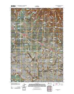
2011 Map of Hillsboro
USGS Topo · Published 2011About this map
Hillsboro serves as the focal point of this Washington County landscape, where the urban grid meets the agricultural reaches of the Tualatin Valley. The map documents the city's relationship with the Tualatin River and Jackson Bottom, showing a developed core that transitions into smaller settlements like Orenco and Reedville. Transportation remains a central theme, evidenced by the presence of the Portland-Hillsboro Airport and the B N Junction, which mark the area's ongoing role as a regional hub for commerce and travel.
Find a feature on this map
120 named features on this map. Tap any name to fly to it.
Don’t see what you’re looking for? This feature index may not catch every label — zoom into the map to look around manually.
Map Details
Editions of this 2011 Hillsboro Map
This is the sole edition of this map. No revisions or reprints were ever made.
Other maps of this area

1915 · Hillsboro
USGS Topo · 1:62,500

1916 · Tualatin
USGS Topo · 1:62,500

1918 · Hillsboro
USGS Topo · 1:62,500

1939 · Tualatin
USGS Topo · 1:62,500

1940 · Tualatin
USGS Topo · 1:62,500

1940 · Hillsboro
USGS Topo · 1:62,500

1941 · Gales Creek
USGS Topo · 1:62,500

1941 · Yamhill
USGS Topo · 1:62,500

1942 · Yamhill
USGS Topo · 1:62,500

1948 · Vancouver
USGS Topo · 1:250,000