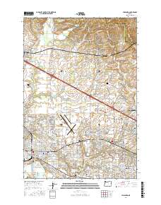
2017 Map of Hillsboro
USGS Topo · Published 2017About this map
Hillsboro serves as the central hub of this modern survey, surrounded by established residential and industrial districts that transition into the agricultural foothills of the Tualatin Mountains. The landscape is a complex network of suburban expansion and historic rural pockets, where the Hillsboro Airport and the commercial corridors of Aloha contrast with the quiet northern reaches near Pumpkin Ridge. Traces of the region's early settlement remain visible through several historic burial grounds, including the Old Scotch Cem and West Union Cem, which anchor the northern farming communities of Glencoe and Helvetia. Water management is a defining feature of the terrain, marked by numerous reservoirs and sumps such as the Leichtman Sump and Jackson Reservoir, alongside the meandering paths of McKay Cr and Rock Cr that drain the valley floor toward Jackson Bottom.
Find a feature on this map
213 named features on this map. Tap any name to fly to it.
Don’t see what you’re looking for? This feature index may not catch every label — zoom into the map to look around manually.
Map Details
Editions of this 2017 Hillsboro Map
This is the sole edition of this map. No revisions or reprints were ever made.
Other maps of this area

1915 · Hillsboro
USGS Topo · 1:62,500

1916 · Tualatin
USGS Topo · 1:62,500

1918 · Hillsboro
USGS Topo · 1:62,500

1939 · Tualatin
USGS Topo · 1:62,500

1940 · Tualatin
USGS Topo · 1:62,500

1940 · Hillsboro
USGS Topo · 1:62,500

1941 · Gales Creek
USGS Topo · 1:62,500

1941 · Yamhill
USGS Topo · 1:62,500

1942 · Yamhill
USGS Topo · 1:62,500

1948 · Vancouver
USGS Topo · 1:250,000