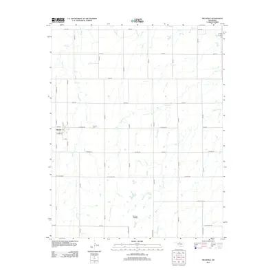
2012 Map of Hillsdale
USGS Topo · Published 2012About this map
Hillsdale serves as the central hub of this Garfield County landscape, situated where W Buffalo Rd meets N2810 Rd. The town layout is defined by streets like W Minnie Ave and Main St, while the nearby Hillsdale Cem provides a focal point for local genealogical research. The surrounding terrain is heavily shaped by an intricate network of waterways, including the winding paths of Sand Cr and Ninemile Cr, which flow through the agricultural grid. To the southeast, the topography becomes more complex at the Ninemile Canyons, where the land drops away into deep drainage patterns near Wild Horse Cr. This 2012 survey illustrates the enduring section-line road system that organizes the Oklahoma plains, connecting isolated farmsteads via routes like E Keowee Rd and W H Holdden Rd.
Find a feature on this map
37 named features on this map. Tap any name to fly to it.
Don’t see what you’re looking for? This feature index may not catch every label — zoom into the map to look around manually.
Map Details
Editions of this 2012 Hillsdale Map
This is the sole edition of this map. No revisions or reprints were ever made.
Other maps of this area

1955 · Enid West
USGS Topo · 1:24,000

1955 · Enid East
USGS Topo · 1:24,000

1955 · Enid
USGS Topo · 1:250,000

1955 · Woodward
USGS Topo · 1:250,000

1956 · Enid
USGS Topo · 1:62,500

1956 · Ringwood
USGS Topo · 1:62,500

1958 · Enid
USGS Topo · 1:250,000

1958 · Woodward
USGS Topo · 1:250,000

1968 · Hillsdale
USGS Topo · 1:24,000

1968 · Kremlin
USGS Topo · 1:24,000