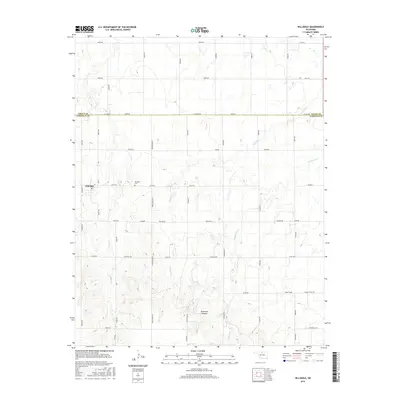
2016 Map of Hillsdale
USGS Topo · Published 2016About this map
Hillsdale serves as the primary settlement within this Garfield County landscape, located near the intersection of Ash St and E0310 Rd. The town site is complemented by the nearby Hillsdale Cem, providing a clear point of reference for local genealogical research. The terrain is defined by a series of north-south drainage systems, including Sand Cr, Ninemile Cr, and Wild Horse Cr, which carve through the plains to form the Ninemile Canyons in the southern portion of the quadrangle.
Find a feature on this map
41 named features on this map. Tap any name to fly to it.
Don’t see what you’re looking for? This feature index may not catch every label — zoom into the map to look around manually.
Map Details
Editions of this 2016 Hillsdale Map
This is the sole edition of this map. No revisions or reprints were ever made.
Other maps of this area

1955 · Enid West
USGS Topo · 1:24,000

1955 · Enid East
USGS Topo · 1:24,000

1955 · Enid
USGS Topo · 1:250,000

1955 · Woodward
USGS Topo · 1:250,000

1956 · Enid
USGS Topo · 1:62,500

1956 · Ringwood
USGS Topo · 1:62,500

1958 · Enid
USGS Topo · 1:250,000

1958 · Woodward
USGS Topo · 1:250,000

1968 · Hillsdale
USGS Topo · 1:24,000

1968 · Kremlin
USGS Topo · 1:24,000