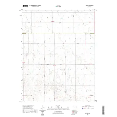
2018 Map of Hillsdale
USGS Topo · Published 2018About this map
Hillsdale serves as the central hub of this agricultural landscape in Garfield County, anchored by its Po and the nearby Hillsdale Cem. The settlement pattern follows a rigid section-line grid typical of North-Central Oklahoma, defined by roads such as E0310 Rd and NZ820 Rd that partition the plains. This 2018 survey illustrates how the land is dissected by natural drainage systems like Sand Cr, Ninemile Cr, and Wild Horse Cr, which break the geometric precision of the fields. Notable man-made modifications to the hydrology appear as numbered impoundments, specifically 04705 Reservoir in the north and 04707 Reservoir to the south. The map also records the boundary line between Grant Co and Garfield Co, a historical division that has shaped local governance and land ownership since the land runs of the late 19th century.
Find a feature on this map
49 named features on this map. Tap any name to fly to it.
Don’t see what you’re looking for? This feature index may not catch every label — zoom into the map to look around manually.
Map Details
Editions of this 2018 Hillsdale Map
This is the sole edition of this map. No revisions or reprints were ever made.
Other maps of this area

1955 · Enid West
USGS Topo · 1:24,000

1955 · Enid East
USGS Topo · 1:24,000

1955 · Enid
USGS Topo · 1:250,000

1955 · Woodward
USGS Topo · 1:250,000

1956 · Enid
USGS Topo · 1:62,500

1956 · Ringwood
USGS Topo · 1:62,500

1958 · Enid
USGS Topo · 1:250,000

1958 · Woodward
USGS Topo · 1:250,000

1968 · Hillsdale
USGS Topo · 1:24,000

1968 · Kremlin
USGS Topo · 1:24,000