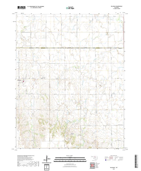
2022 Map of Hillsdale
USGS Topo · Published 2022About this map
Hillsdale serves as the primary hub of this north-central Oklahoma landscape, situated on the border of Grant and Garfield Counties. The terrain is defined by a series of drainage systems, most notably Sand Creek to the west and the more complex Ninemile Creek and Wild Horse Creek to the east. These waterways carve through the plains, eventually forming the Ninemile Canyons in the southern portion of the quadrangle.
Find a feature on this map
51 named features on this map. Tap any name to fly to it.
Don’t see what you’re looking for? This feature index may not catch every label — zoom into the map to look around manually.
Map Details
Editions of this 2022 Hillsdale Map
This is the sole edition of this map. No revisions or reprints were ever made.
Other maps of this area

1955 · Enid West
USGS Topo · 1:24,000

1955 · Enid East
USGS Topo · 1:24,000

1955 · Enid
USGS Topo · 1:250,000

1955 · Woodward
USGS Topo · 1:250,000

1956 · Enid
USGS Topo · 1:62,500

1956 · Ringwood
USGS Topo · 1:62,500

1958 · Enid
USGS Topo · 1:250,000

1958 · Woodward
USGS Topo · 1:250,000

1968 · Hillsdale
USGS Topo · 1:24,000

1968 · Kremlin
USGS Topo · 1:24,000