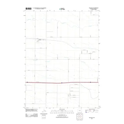
2012 Map of Hillsdale
USGS Topo · Published 2012About this map
The settlement of Hillsdale anchors this high-plains landscape in Laramie County, defined by a grid of rural roads and the drainage patterns of three seasonal waterways. The terrain is marked by the winding paths of Lodgepole Cr in the north, N Fork Muddy Cr through the center, and Muddy Cr to the south. This 2012 survey illustrates a transition from the structured township grid of the local road network to more descriptive residential lane names in the south, such as Big Chief Rd and Iron Horse Rd. Transport and infrastructure are central to the area's layout, seen in the path of Railroad Rd following the rail line through the heart of the village. The map detail extends to specific local family or commemorative names on rural routes like Schrul Rd, Dubois Rd, and Harding Rd, providing a clear record of land division and residency in this part of Wyoming.
Find a feature on this map
34 named features on this map. Tap any name to fly to it.
Don’t see what you’re looking for? This feature index may not catch every label — zoom into the map to look around manually.
Map Details
Editions of this 2012 Hillsdale Map
This is the sole edition of this map. No revisions or reprints were ever made.
Other maps of this area

1911 · Cheyenne
USGS Topo · 1:125,000

1914 · Cheyenne
USGS Topo · 1:125,000

1954 · Cheyenne
USGS Topo · 1:250,000

1958 · Cheyenne
USGS Topo · 1:250,000

1963 · Arcola
USGS Topo · 1:24,000

1963 · Burns
USGS Topo · 1:24,000

1963 · Pole Creek Ranch SE
USGS Topo · 1:24,000

1963 · Durham
USGS Topo · 1:24,000

1963 · Midway SE
USGS Topo · 1:24,000

1963 · Carpenter
USGS Topo · 1:24,000