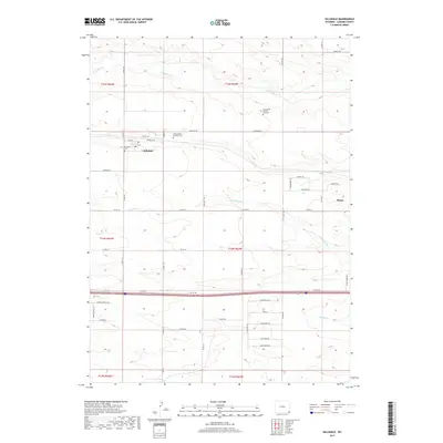
2017 Map of Hillsdale
USGS Topo · Published 2017About this map
Hillsdale and the western edge of Burns occupy this portion of the High Plains, where the rural landscape is defined by a grid of county roads and the paths of seasonal watercourses. The local terrain is carved by the drainages of Lodgepole Cr, N Fork Muddy Cr, and Muddy Cr, which flow eastward across the prairie. A significant corridor of activity follows Railroad Rd, paralleling the historic rail line that fostered these early agricultural settlements.
Find a feature on this map
46 named features on this map. Tap any name to fly to it.
Don’t see what you’re looking for? This feature index may not catch every label — zoom into the map to look around manually.
Map Details
Editions of this 2017 Hillsdale Map
This is the sole edition of this map. No revisions or reprints were ever made.
Other maps of this area

1911 · Cheyenne
USGS Topo · 1:125,000

1914 · Cheyenne
USGS Topo · 1:125,000

1954 · Cheyenne
USGS Topo · 1:250,000

1958 · Cheyenne
USGS Topo · 1:250,000

1963 · Arcola
USGS Topo · 1:24,000

1963 · Burns
USGS Topo · 1:24,000

1963 · Pole Creek Ranch SE
USGS Topo · 1:24,000

1963 · Durham
USGS Topo · 1:24,000

1963 · Midway SE
USGS Topo · 1:24,000

1963 · Carpenter
USGS Topo · 1:24,000