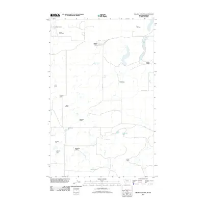
2011 Map of Hillside Colony
USGS Topo · Published 2011About this map
Hillside Colony and Rim Rock Colony anchor this northern Toole County landscape, where the prairie is defined by an intricate network of coulees and agricultural water management. The terrain is marked by numerous small-scale reservoirs and dams, such as the Looney Tuney Dam, GJP Suta Dam, and Miss Easy Pride Dam, which reflect the community's adaptation to this semi-arid region.
Find a feature on this map
28 named features on this map. Tap any name to fly to it.
Don’t see what you’re looking for? This feature index may not catch every label — zoom into the map to look around manually.
Map Details
Editions of this 2011 Hillside Colony Map
This is the sole edition of this map. No revisions or reprints were ever made.
Other maps of this area

1909 · Cut Bank
USGS Topo · 1:125,000

1912 · Cut Bank
USGS Topo · 1:125,000

1939 · Sunburst
USGS Topo · 1:62,500

1954 · Shelby
USGS Topo · 1:250,000

1958 · Shelby
USGS Topo · 1:250,000

1960 · Cut Bank
USGS Topo · 1:250,000

1963 · Cut Bank
USGS Topo · 1:250,000

1964 · Cut Bank
USGS Topo · 1:250,000
1968 · Hillside Colony
USGS Topo · 1:24,000
1968 · Mountain View School
USGS Topo · 1:24,000