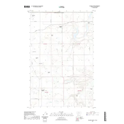
2020 Map of Hillside Colony
USGS Topo · Published 2020About this map
The northern boundary of Toole County meets the international border in this survey of the high plains north of Shelby. The landscape is defined by the Hillside Colony and Rim Rock Colony, two intentional agricultural communities situated within a network of drainage features known locally as coulees. Notable among these are Rocky Ridge Coulee, Buckley Coulee, and Sunburst Coulee, which weave through the townships. The area's water sources are clustered in the south and east, including the Benton Trail Lakes, Davis Lakes, and Hemmings Lake. A system of local routes like Buckley Rd and Loop Rd connects the communal settlements across the undulating terrain. This map captures the modern footprint of these Hutterite colonies and their surrounding wheat and ranch lands as they appeared in 2020.
Find a feature on this map
30 named features on this map. Tap any name to fly to it.
Don’t see what you’re looking for? This feature index may not catch every label — zoom into the map to look around manually.
Map Details
Editions of this 2020 Hillside Colony Map
This is the sole edition of this map. No revisions or reprints were ever made.
Other maps of this area

1909 · Cut Bank
USGS Topo · 1:125,000

1912 · Cut Bank
USGS Topo · 1:125,000

1939 · Sunburst
USGS Topo · 1:62,500

1954 · Shelby
USGS Topo · 1:250,000

1958 · Shelby
USGS Topo · 1:250,000

1960 · Cut Bank
USGS Topo · 1:250,000

1963 · Cut Bank
USGS Topo · 1:250,000

1964 · Cut Bank
USGS Topo · 1:250,000
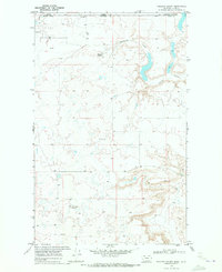
1968 · Hillside Colony
USGS Topo · 1:24,000
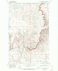
1968 · Mountain View School
USGS Topo · 1:24,000