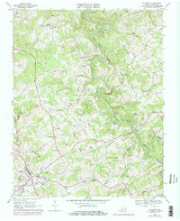
1968 Map of Hillsville
USGS Topo · Published 1978About this map
Big Reed Island Creek winds through the heart of Carroll County, anchoring a landscape of family cemeteries and rural congregations. The settlement at Hillsville serves as the primary hub, showing the early layout of its streets, schools, and the Radio Tower (WHHV) site. High points like Witcher Knob and Huffman Knob overlook a terrain defined by the convergences of Buckhorn Creek, Grassy Creek, and Little Reed Island Creek.
Find a feature on this map
43 named features on this map. Tap any name to fly to it.
Don’t see what you’re looking for? This feature index may not catch every label — zoom into the map to look around manually.
Map Details
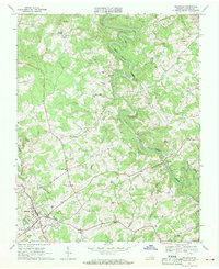
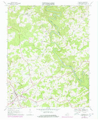
Editions of this 1968 Hillsville Map
Other maps of this area

1889 · Hillsville
USGS Topo · 1:125,000

1892 · Hillsville
USGS Topo · 1:125,000

1896 · Hillsville
USGS Topo · 1:125,000

1930 · Max Meadows
USGS Topo · 1:62,500

1931 · Galax
USGS Topo · 1:48,000

1933 · Galax
USGS Topo · 1:62,500

1953 · Winston-Salem
USGS Topo · 1:250,000

1955 · Winston-Salem
USGS Topo · 1:250,000

1956 · Macks Mountain
USGS Topo · 1:62,500

1957 · Mount Airy
USGS Topo · 1:62,500