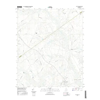
2017 Map of Hilltonia
USGS Topo · Published 2017About this map
Brier Creek winds through the lowlands along the boundary of Burke and Screven counties, defining a landscape shaped by water and timber. The small community of Hilltonia serves as a southern anchor, while to the northeast, Millhaven sits near a network of water features including Millhaven Pond and the extensive Millhaven Lake Number Two. This 2017 survey reveals a rural territory where local family history is anchored by several cemeteries, such as Mount Pleasant Cem and Saint Paul Cem, often located near crossroads. The terrain around Murray Hill is bisected by numerous small tributaries like Chandlers Br and Hills Br, which once supported agricultural operations and milling, as evidenced by Hills Millpond. Local infrastructure is marked by crossings like Hilltonia Bridge and Roberts Bridge, which provide essential passage over the marshy creek basins.
Find a feature on this map
62 named features on this map. Tap any name to fly to it.
Don’t see what you’re looking for? This feature index may not catch every label — zoom into the map to look around manually.
Map Details
Editions of this 2017 Hilltonia Map
This is the sole edition of this map. No revisions or reprints were ever made.
Other maps of this area

1920 · Ellenton
USGS Topo · 1:48,000

1920 · Hilltonia
USGS Topo · 1:62,500

1920 · Millen
USGS Topo · 1:62,500

1920 · Greens Cut
USGS Topo · 1:62,500

1921 · Ellenton
USGS Topo · 1:62,500

1943 · Hilltonia
USGS Topo · 1:62,500

1943 · Greens Cut
USGS Topo · 1:62,500

1943 · Millen
USGS Topo · 1:62,500

1943 · Augusta East
USGS Topo · 1:125,000

1943 · Millen
USGS Topo · 1:125,000