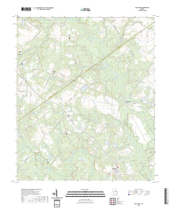
2024 Map of Hilltonia
USGS Topo · Published 2024About this map
Brier Creek defines the northern reaches of this landscape, winding through a network of smaller tributaries like Chandlers Branch and Mill Branch. The area is characterized by a high density of ancestral burial grounds, including the Old McCaannan Cem, Saint Paul Cem, and Jenkins Cem, which serve as vital markers for family historians and genealogists.
Find a feature on this map
66 named features on this map. Tap any name to fly to it.
Don’t see what you’re looking for? This feature index may not catch every label — zoom into the map to look around manually.
Map Details
Editions of this 2024 Hilltonia Map
This is the sole edition of this map. No revisions or reprints were ever made.
Other maps of this area

1920 · Ellenton
USGS Topo · 1:48,000

1920 · Hilltonia
USGS Topo · 1:62,500

1920 · Millen
USGS Topo · 1:62,500

1920 · Greens Cut
USGS Topo · 1:62,500

1921 · Ellenton
USGS Topo · 1:62,500

1943 · Hilltonia
USGS Topo · 1:62,500

1943 · Greens Cut
USGS Topo · 1:62,500

1943 · Millen
USGS Topo · 1:62,500

1943 · Augusta East
USGS Topo · 1:125,000

1943 · Millen
USGS Topo · 1:125,000