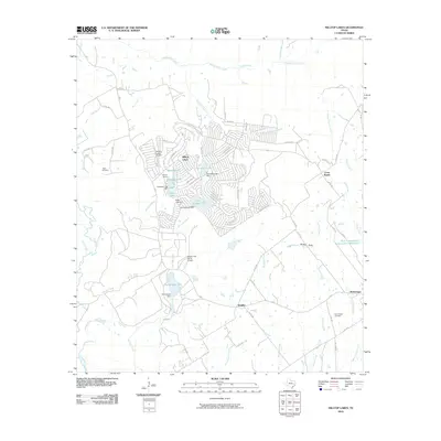
2010 Map of Hilltop Lakes
USGS Topo · Published 2010About this map
Hilltop Lakes centers this 2010 topographic study, showcasing a dense network of leisure-focused infrastructure in eastern Texas. The landscape is defined by its artificial water bodies, including Mirror Lake, Kickapoo Lake, Cherokee Lake, Swan Lake, and Lake Tonkawa, each managed by its own respective dam. This planned community, complete with Hilltop Lakes Airport and residential developments like Hilltop Downs, contrasts sharply with the older rural settlements of Cross Roads, Wealthy, and Normangee to the south.
Find a feature on this map
75 named features on this map. Tap any name to fly to it.
Don’t see what you’re looking for? This feature index may not catch every label — zoom into the map to look around manually.
Map Details
Editions of this 2010 Hilltop Lakes Map
This is the sole edition of this map. No revisions or reprints were ever made.
Other maps of this area

1925 · Iola No 2
USGS Topo · 1:48,000

1925 · Marquez No. 1
USGS Topo · 1:48,000

1925 · Marquez No. 4
USGS Topo · 1:48,000

1927 · Marquez
USGS Topo · 1:62,500

1930 · Marquez
USGS Topo · 1:62,500

1931 · Iola
USGS Topo · 1:62,500

1954 · Waco
USGS Topo · 1:250,000

1954 · Austin
USGS Topo · 1:250,000

1955 · Waco
USGS Topo · 1:250,000

1962 · Edge
USGS Topo · 1:24,000