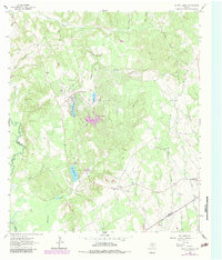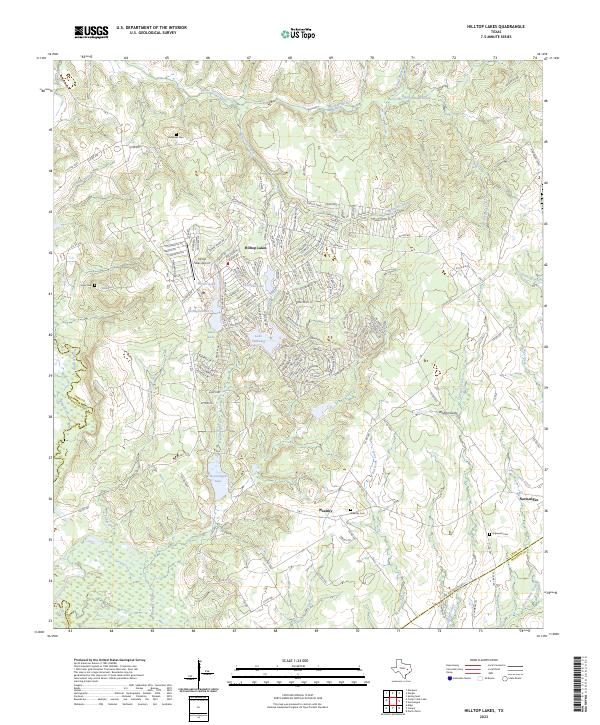
2023 Map of Hilltop Lakes
USGS Topo · Published 2023About this map
Hilltop Lakes sits at the intersection of Leon, Madison, and Robertson counties, centered around a complex network of residential streets and recreational water bodies. The community is defined by its series of lakes, including Lake Tonkawa, Kickapoo Lake, and Mirror Lake, which are fed by the meandering Running Creek. This private resort community, developed in the latter half of the 20th century, features the Hilltop Lakes Airport and extensive golf-oriented street names like Sammy Snead Dr and Golfview Dr. To the south, the landscape shifts toward more traditional rural settlements and agriculture. The map documents the smaller communities of Wealthy and Normangee, where family and community history is preserved at Wealthy Cem and Hopewell Cem. The drainage patterns of the Navasota River and Pigeon Roost Creek continue to shape the surrounding timber and pasture land of east-central Texas.
Find a feature on this map
155 named features on this map. Tap any name to fly to it.
Don’t see what you’re looking for? This feature index may not catch every label — zoom into the map to look around manually.
Map Details
Editions of this 2023 Hilltop Lakes Map
This is the sole edition of this map. No revisions or reprints were ever made.