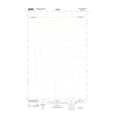
2013 Map of Hilman Lake
USGS Topo · Published 2013About this map
Hilman Lake lies at the heart of this sparsely settled northern Minnesota landscape, where the primary human footprint is defined by significant drainage infrastructure. The presence of Ditch Number Thirty cutting across the terrain reflects the region's complex history of managing wetlands for agricultural or forestry use. This map documents a quiet segment of the borderlands between Lake of the Woods County and Beltrami County, showing an area where natural hydrology and intentional engineering intersect in the early twenty-first century.
Find a feature on this map
3 named features on this map. Tap any name to fly to it.
Don’t see what you’re looking for? This feature index may not catch every label — zoom into the map to look around manually.
Map Details
Editions of this 2013 Hilman Lake Map
This is the sole edition of this map. No revisions or reprints were ever made.
Other maps of this area

1919 · G
USGS Topo · 1:62,500

1919 · Fox
USGS Topo · 1:62,500

1919 · Ponemah
USGS Topo · 1:62,500

1919 · Knutson
USGS Topo · 1:62,500

1943 · Ponemah
USGS Topo · 1:62,500

1954 · Roseau
USGS Topo · 1:250,000

1957 · Roseau
USGS Topo · 1:250,000

1958 · Roseau
USGS Topo · 1:250,000
1973 · Waskish NW
USGS Topo · 1:24,000
1973 · Chase Brook
USGS Topo · 1:24,000