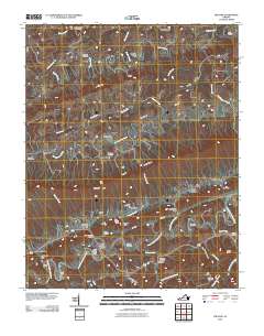
2010 Map of Hiltons
USGS Topo · Published 2010About this map
Nickelsville and Hiltons anchor this portion of Scott County, where the landscape is defined by the sharp, parallel ridges and valleys of the Appalachian chain. The North Fork Holston River snakes along the southern edge, its banks marked by historic river-crossing points like Hart Ford and Foust Ford. This area preserved its rural milling character well into the 21st century, with both the McConnell Mill on Big Moccasin Creek and the Holston River Mill appearing as significant landmarks. Notable family-named sites such as Blankenbeckler Cemetery and Francisco Cemetery provide essential touchpoints for genealogical research. The complex topography is illustrated through features like Hiltons Gap and the sheer Otter House Bluff, which overlook the winding watercourses and small settlements like Snowflake and Maces Spring.
Find a feature on this map
112 named features on this map. Tap any name to fly to it.
Don’t see what you’re looking for? This feature index may not catch every label — zoom into the map to look around manually.
Map Details
Editions of this 2010 Hiltons Map
This is the sole edition of this map. No revisions or reprints were ever made.
Other maps of this area

1894 · Estillville
USGS Topo · 1:125,000

1897 · Bristol
USGS Topo · 1:125,000

1902 · Bristol
USGS Topo · 1:125,000

1920 · Wise
USGS Topo · 1:48,000

1920 · Coeburn
USGS Topo · 1:48,000

1921 · Wise
USGS Topo · 1:62,500

1935 · Hilton
USGS Topo · 1:24,000

1935 · Moggasin
USGS Topo · 1:48,000

1935 · Mendota
USGS Topo · 1:24,000

1935 · Blountville
USGS Topo · 1:24,000