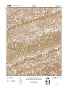
2013 Map of Hiltons
USGS Topo · Published 2013About this map
N Fork Holston River winds through the southern portion of this Scott County landscape, carved by deep gaps and prominent ridges. The geography is defined by narrow corridors like Hamilton Gap and Eddington Gap, which have historically funneled travel and settlement through the Clinch Mountain region. Local industry and community life appear grounded in the valley floor, evidenced by Holston River Mill and McConnell Mill. These sites, along with small clusters at Hiltons and Maces Spring, reflect a long-standing pattern of river-adjacent development. Further north, the terrain transitions into a complex network of hollows such as Cave Spring Hollow and Dean Hollow, while the presence of Dorton Fort and family-named roads like Francisco Cemetery Dr offer specific points of interest for those tracing lineage and early defensive outposts in southwest Virginia.
Find a feature on this map
118 named features on this map. Tap any name to fly to it.
Don’t see what you’re looking for? This feature index may not catch every label — zoom into the map to look around manually.
Map Details
Editions of this 2013 Hiltons Map
This is the sole edition of this map. No revisions or reprints were ever made.
Other maps of this area

1894 · Estillville
USGS Topo · 1:125,000

1897 · Bristol
USGS Topo · 1:125,000

1902 · Bristol
USGS Topo · 1:125,000

1920 · Wise
USGS Topo · 1:48,000

1920 · Coeburn
USGS Topo · 1:48,000

1921 · Wise
USGS Topo · 1:62,500

1935 · Hilton
USGS Topo · 1:24,000

1935 · Moggasin
USGS Topo · 1:48,000

1935 · Mendota
USGS Topo · 1:24,000

1935 · Blountville
USGS Topo · 1:24,000