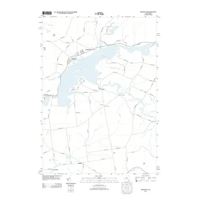
2013 Map of Hinckley
USGS Topo · Published 2013About this map
Hinckley Reservoir dominates this landscape, its expansive waters submerging the valley where W Canada Cr once flowed unimpeded. The surrounding terrain is marked by a network of small settlements and crossroad hamlets, including Northwood, Ninety Six Corners, and Grant, which sit along the northern and eastern shores. To the south, the village of Russia and the neighboring Gravesville are situated near the banks of Mill Cr, reflecting the region's historic reliance on local watercourses.
Find a feature on this map
108 named features on this map. Tap any name to fly to it.
Don’t see what you’re looking for? This feature index may not catch every label — zoom into the map to look around manually.
Map Details
Editions of this 2013 Hinckley Map
This is the sole edition of this map. No revisions or reprints were ever made.
Other maps of this area

1897 · Remsen
USGS Topo · 1:62,500

1898 · Utica
USGS Topo · 1:62,500

1900 · Little Falls
USGS Topo · 1:62,500

1900 · Utica
USGS Topo · 1:62,500

1900 · Remsen
USGS Topo · 1:62,500

1900 · Wilmurt
USGS Topo · 1:62,500

1902 · Wilmurt
USGS Topo · 1:62,500

1903 · Little Falls
USGS Topo · 1:62,500

1939 · Little Falls
USGS Topo · 1:62,500

1943 · Newport
USGS Topo · 1:24,000