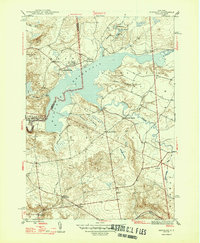
1947 Map of Hinckley
USGS Topo · Published 1947About this map
Hinckley Reservoir dominates the landscape of the West Canada Creek valley, where the border between Oneida and Herkimer Counties snakes through the water. This 1940s survey captures a rural landscape defined by small settlements and family-named landmarks. The village of Russia and the hamlet of Gravesville anchor the southern portion of the sheet, while scattered rural communities like Northwood, Ninety Six Corners, and Partyville Corners are linked by a network of winding roads.
Find a feature on this map
42 named features on this map. Tap any name to fly to it.
Don’t see what you’re looking for? This feature index may not catch every label — zoom into the map to look around manually.
Map Details
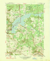
Editions of this 1947 Hinckley Map
2 editions found
Other maps of this area

1897 · Remsen
USGS Topo · 1:62,500

1898 · Utica
USGS Topo · 1:62,500

1900 · Little Falls
USGS Topo · 1:62,500

1900 · Utica
USGS Topo · 1:62,500

1900 · Remsen
USGS Topo · 1:62,500

1900 · Wilmurt
USGS Topo · 1:62,500

1902 · Wilmurt
USGS Topo · 1:62,500

1903 · Little Falls
USGS Topo · 1:62,500

1939 · Little Falls
USGS Topo · 1:62,500

1943 · Newport
USGS Topo · 1:24,000