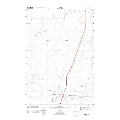
2013 Map of Hinckley
USGS Topo · Published 2013About this map
The Grindstone River and its branches define this Pine County landscape, converging near the established settlement of Hinckley. This 2013 survey illustrates the modern layout of the region, featuring a mix of recreational and commemorative sites such as the Grand Casino Hinckley RV Park and the Field of Dreams Airport. The presence of numerous burial grounds, including Rose Hill Cem and Lutheran Memorial Cem, provides essential points of interest for genealogists tracing local families. Further north, the community of Friesland sits among a network of managed water features like the Friesland Ditch. Transport routes including Co HWY-61 and the Old Military Rd intersect the terrain, reflecting the historical and contemporary infrastructure that connects these rural Minnesota communities. The map also documents the Bush Field Airport and several creeks, including Skunk Cr and Deer Cr, which snake through the northern woods.
Find a feature on this map
59 named features on this map. Tap any name to fly to it.
Don’t see what you’re looking for? This feature index may not catch every label — zoom into the map to look around manually.
Map Details
Editions of this 2013 Hinckley Map
This is the sole edition of this map. No revisions or reprints were ever made.
Other maps of this area

1953 · Duluth
USGS Topo · 1:250,000

1953 · Stillwater
USGS Topo · 1:250,000

1955 · Stillwater
USGS Topo · 1:250,000

1958 · Stillwater
USGS Topo · 1:250,000

1958 · Duluth
USGS Topo · 1:250,000

1961 · Sandstone
USGS Topo · 1:62,500

1961 · Brook Park
USGS Topo · 1:62,500

1961 · Pine City
USGS Topo · 1:62,500

1965 · Stillwater
USGS Topo · 1:250,000

1968 · Giese
USGS Topo · 1:24,000