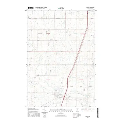
2016 Map of Hinckley
USGS Topo · Published 2016About this map
Hinckley and the small settlement of Friesland anchor this Pine County landscape, where the Grindstone River and its branches define the drainage of the eastern Minnesota woods. The area reflects a history of both industry and local memory, evidenced by the cluster of cemeteries south of the town center, including Rose Hill Cem and Lutheran Memorial Cem. The transportation network is a mix of modern infrastructure and historical routes like Old Military Rd, while the aviation presence at Field of Dreams Airport and Bush Field shows the modern evolution of the rural township. Much of the northern terrain remains defined by low-lying wetlands and minor watercourses like Skunk Cr and the man-made Friesland Ditch, illustrating how the landscape was adapted for drainage and settlement during the 20th century.
Find a feature on this map
81 named features on this map. Tap any name to fly to it.
Don’t see what you’re looking for? This feature index may not catch every label — zoom into the map to look around manually.
Map Details
Editions of this 2016 Hinckley Map
This is the sole edition of this map. No revisions or reprints were ever made.
Other maps of this area

1953 · Duluth
USGS Topo · 1:250,000

1953 · Stillwater
USGS Topo · 1:250,000

1955 · Stillwater
USGS Topo · 1:250,000

1958 · Stillwater
USGS Topo · 1:250,000

1958 · Duluth
USGS Topo · 1:250,000

1961 · Sandstone
USGS Topo · 1:62,500

1961 · Brook Park
USGS Topo · 1:62,500

1961 · Pine City
USGS Topo · 1:62,500

1965 · Stillwater
USGS Topo · 1:250,000

1968 · Giese
USGS Topo · 1:24,000