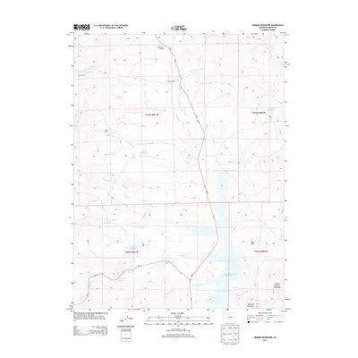
2013 Map of Hinman Reservoir
USGS Topo · Published 2013About this map
Wolford Mountain Reservoir dominates the drainage patterns of this Grand County landscape, where water management is etched into the high country through a network of ditches and impoundments. The map documents several established ranching properties, including Ritschard Ranch, Parsons Ranch, and Ingram Ranch, which follow the course of Muddy Cr and its tributaries. These family-named landmarks illustrate the historical reliance on creek-side settlements for livestock and land tenure in the region.
Find a feature on this map
29 named features on this map. Tap any name to fly to it.
Don’t see what you’re looking for? This feature index may not catch every label — zoom into the map to look around manually.
Map Details
Editions of this 2013 Hinman Reservoir Map
This is the sole edition of this map. No revisions or reprints were ever made.
Other maps of this area

1954 · Craig
USGS Topo · 1:250,000

1956 · Lake Agnes
USGS Topo · 1:24,000

1956 · Kremmling
USGS Topo · 1:62,500

1956 · Whiteley Peak
USGS Topo · 1:24,000

1956 · Hyannis Peak
USGS Topo · 1:24,000

1956 · Gore Pass
USGS Topo · 1:62,500

1956 · Hyannis Peak
USGS Topo · 1:62,500

1956 · Rabbit Ears Peak
USGS Topo · 1:62,500

1957 · Craig
USGS Topo · 1:250,000

1958 · Craig
USGS Topo · 1:250,000