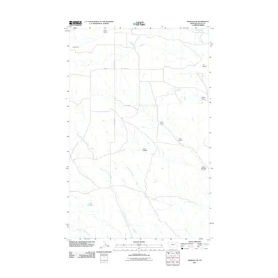
2011 Map of Hinsdale SE
USGS Topo · Published 2011About this map
Ruby Reservoir and the complex drainage systems of Valley County define this stretch of the Montana plains. The landscape is characterized by its numerous coulees, including Tank Coulee in the north and Traux Coulee to the east, which channel seasonal runoff toward the more substantial Hardscrabble Creek. These deep-cut features, such as Snow Coulee and Buffalo Coulee, reflect the erosive power of the elements in this semi-arid environment. Settlement is sparse, with Kepples Ranch marking a human presence amidst the network of local routes like South Bench Rd and Ridge Rd. The mapping of the North Fork Antelope Creek and South Fork Antelope Creek illustrates the intricate hydrology that supports the region's ranching economy.
Find a feature on this map
23 named features on this map. Tap any name to fly to it.
Don’t see what you’re looking for? This feature index may not catch every label — zoom into the map to look around manually.
Map Details
Editions of this 2011 Hinsdale SE Map
This is the sole edition of this map. No revisions or reprints were ever made.
Other maps of this area

1906 · Hinsdale Special Map
USGS Topo · 1:62,500

1943 · Glasgow
USGS Topo · 1:125,000

1954 · Glasgow
USGS Topo · 1:250,000

1957 · Glasgow
USGS Topo · 1:250,000

1958 · Glasgow
USGS Topo · 1:250,000

1958 · Miller Coulee
USGS Topo · 1:62,500
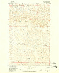
1958 · Billick Coulee
USGS Topo · 1:24,000

1969 · Vandalia
USGS Topo · 1:24,000

1969 · Ellsworth Coulee
USGS Topo · 1:24,000
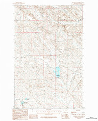
1984 · Hardpan Coulee
USGS Topo · 1:24,000