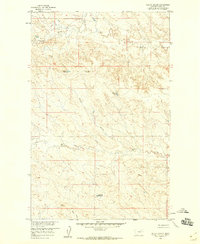
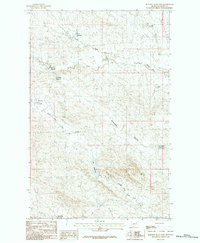
1958 Map of Billick Coulee
USGS Topo · Published 1960About this map
Billick Coulee defines the drainage of this Valley County landscape, part of a 1950s survey for the development of the Missouri River Basin. The terrain is characterized by a network of intermittent waterways and small upland catchments, including Wagon Top Reservoir and Two Butte Reservoir. These water management features, along with Reservoir No 148, illustrate the mid-century infrastructure required for ranching and resource management in this arid stretch of Montana.
Find a feature on this map
13 named features on this map. Tap any name to fly to it.
Don’t see what you’re looking for? This feature index may not catch every label — zoom into the map to look around manually.
Map Details
Editions of this 1958 Billick Coulee Map
2 editions found
Other maps of this area

1943 · Glasgow
USGS Topo · 1:125,000

1954 · Glasgow
USGS Topo · 1:250,000

1957 · Glasgow
USGS Topo · 1:250,000

1958 · Glasgow
USGS Topo · 1:250,000

1958 · Engstrom Ranch
USGS Topo · 1:24,000

1958 · Miller Coulee
USGS Topo · 1:62,500
1969 · Tampico
USGS Topo · 1:24,000

1969 · Vandalia
USGS Topo · 1:24,000
1984 · Hardpan Coulee
USGS Topo · 1:24,000
1984 · Burnett Flats East
USGS Topo · 1:24,000